A number of nonprofits, land trusts, ranchers, tribal nations and government agencies have already removed or modified thousands of miles of harmful fences. But because fences are difficult to study, these projects haven’t had much science to guide them. There is no global fence map, as there is for roads; fences are hard to see on satellite imagery. And even as satellite-based mapping improves, researchers say it’s difficult to distinguish between an impassable woven-wire fence and, for example, a dilapidated or smooth-wire fence that’s more permeable to wildlife.
Recently, though, fence ecologists have begun to unravel some mysteries. Using models, they’ve estimated the locations of fences over large areas and painstakingly mapped them in a number of important habitats. And they’re studying the paths of GPS-collared animals: If a mule deer makes a 90-degree turn in a section of roadless rangeland, for example, it could be because of a problem fence.
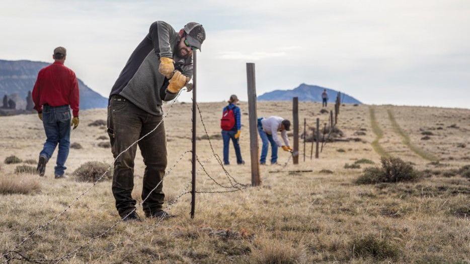
On Horse Prairie, one of Jakes’ colleagues, Simon Buzzard, combined all three tools — modeling, mapping and GPS-collar data from a Montana Fish, Wildlife and Parks pronghorn study — to identify stretches of fencing that appeared to impede ungulate movement. “We had collars from 40 animals,” Buzzard said. “Many of them stopped right here,” at the 2.1-mile stretch that the volunteers took down in July.
The removal effort was the result of a cost-sharing agreement among the National Wildlife Federation and the landowners on either side of the fence: the Bureau of Land Management and two ranchers. The section that came out is the first of 10 miles of fence that Buzzard and Jakes hope to fix through a National Fish and Wildlife Foundation grant this year.

